ARGO
Transatlantic


ARGO is the name of an ancient and enormous southern constellation. It means ship. This is the first part of my expedition.
Learn more about this Constellation and go below deck to find out what goes on behind the scenes of this adventure across the Atlantic Ocean.
CHAPTER I - SAILING TOWARDS CHANGE
It was at the foot of the cliffs of Cape Finisterre (Spain) that the crazy idea of crossing the Atlantic under sail first took root, after my journey of almost 3,000 km on foot along the Camino de Santiago, which led me to these cliffs. It was from there that I wanted to launch my expedition. However, after many weeks of preparation, I decided to start my adventure not from Spain, but from the port of Port St-Louis du Rhône, France, where the boat was moored.
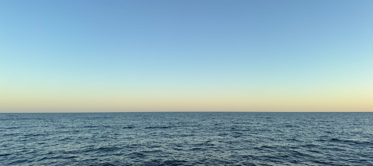
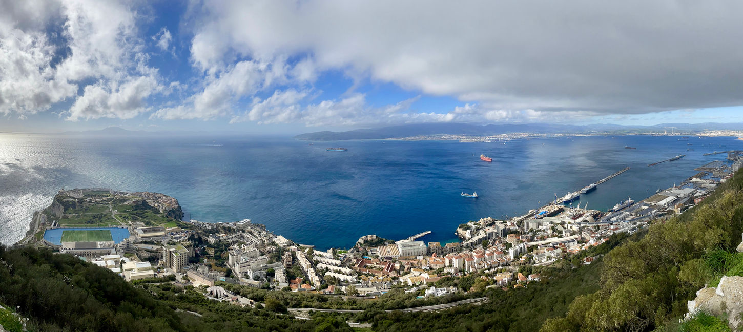
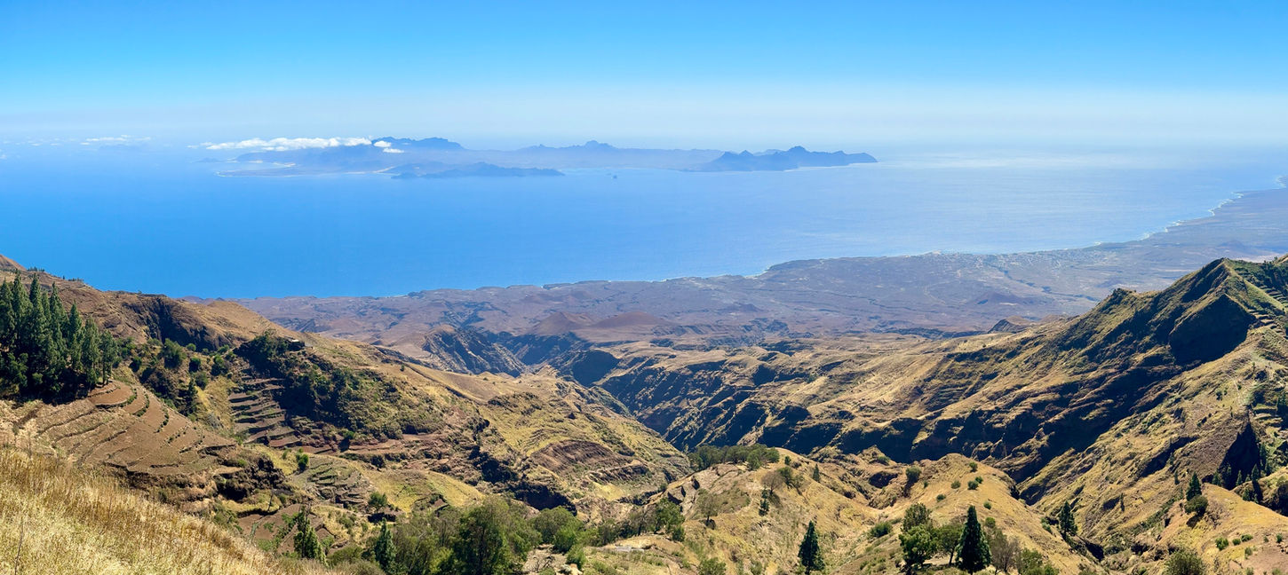
On December 1, 2023, at 11:57 am, I weighed anchor. This moment, both solemn and exciting, marked the beginning of this crossing. After skirting the Mediterranean coast, I headed for Barcelona, Alicante, then Gibraltar, before crossing the Strait and heading for the Canary Islands. From there, I sailed towards Lanzarote, then Cape Verde. Once this stage was completed, the crossing to Martinique was my first major transatlantic challenge. After a break on the island, I continued on my way, gradually making my way up the Antilles to Florida.
On March 6, 2024, at 5:39 am, I finally touched down, marking the end of the first major stage of my expedition. The arrival, after an intense night of storms and crossing the Gulf Stream, was a moment of great emotion. The port of Florida welcomed me in an atmosphere of calm, contrasting with the violence of the sea the day before. This journey was a key stage in my adventure, marked by a profound personal transformation that redefined my vision of the world and of exploration.
JOURNEY OVERVIEW
KEY STATS AND FUN FACTS
For those who love statistics or simply want to know more about the first part of our journey, here are the key figures and interesting facts.
Distance and Duration
-
Total Distance: 11,173 kilometers (6,033 nautical miles)
-
Total Duration: 97 days (978 hours at sea)
-
Effective Sailing Time: 40 days of navigation
-
Night Shifts: 230 hours on night shifts
Transatlantic Crossing
-
Route: From Mindelo (Cape Verde) to Le Marin (Martinique)
-
Distance: 4,086 kilometers (2,206 nautical miles)
-
Time: 13 days, 11 hours and 7 minutes
Boats Involved
During this leg of the journey, I sailed alongside four different boats:
-
PEPA (Switzerland) an Alumarine 49
-
OMAYA (United Kingdom) a Bavaria C45
-
ANUSHKA (France) a Dufour 50
-
MARNIE KAI (United States) a Leopard 46
Crew
Until we reached Martinique, there were between 2 and 3 people on board. After that, our crew expanded to up to 5 people.
Countries and Islands Visited
Along the way, we passed through 9 countries and 15 islands, including:
-
France
-
Spain
-
Gibraltar
-
Cape Verde
-
Saint Kitts and Nevis
-
Guadeloupe (Deshaies)
-
Saint Martin (French and Dutch sides)
-
British Virgin Islands
-
Bahamas
-
United States (Florida)
The 15 islands included:
-
Lanzarote (Canary Islands)
-
São Vicente and Santo Antão (Cape Verde)
-
Martinique
-
Guadeloupe
-
Saint Kitts
-
Saint Martin
-
Virgin Gorda, Jost Van Dyke, Beef Island, Tortola (British Virgin Islands)
-
Long Island, Great Exuma, Pig Beach Island, Highbourne Cay (Bahamas)
Continents Crossed
-
Europe: France, Spain, Gibraltar
-
Africa: Cape Verde
-
North America: Florida
Weather Challenges
Throughout the journey we encountered a variety of weather conditions:
-
First Night: A gale-force wind hit, with waves reaching 8 on the Richter scale, setting a challenging start to the voyage.
-
Strait of Gibraltar: Strong winds and powerful currents tested our sailing skills. We were also prepared for the possibility of encountering orcas, as they are known to frequent the area. Though we didn’t actually encounter them, we made sure to be ready for the eventuality.
-
Between Gibraltar and Lanzarote: The sea was dominated by large waves but once past the Canary Islands it became calmer.
-
Atlantic Crossing: The crossing was characterized by crosswinds between 15 and 35 knots for most of the trip. The weather was tough, with frequent squalls causing multiple breakdowns (e.g., mainsail battens).
-
Near Guadeloupe: A brief period of intense conditions with rain squalls but the weather calmed after that.
-
Gulf Stream Crossing: The conditions in the Gulf Stream were relatively calm with lighter winds and smooth seas compared to what we had expected.
Wind and Gulf Stream
-
We faced crosswinds and unpredictable gusts during the transatlantic crossing. The Gulf Stream added some turbulence but overall we had much lighter winds during this phase than we had anticipated.
Coastal and Offshore Sailing
-
Coastal Navigation: We started with coastal sailing through the Mediterranean and along the coast of Spain, before reaching Gibraltar. The close proximity to land allowed for easier navigation but required constant vigilance.
-
Offshore Sailing: Once we crossed into the open Atlantic, the navigation was more challenging with island-hopping across the Canaries, Cape Verde and the Caribbean islands until reaching Florida.
Challenges of Offshore Navigation
-
Maritime Traffic: Particularly in busy areas like the Strait of Gibraltar, we had to remain vigilant of other ships and vessels, which required constant monitoring, especially during night shifts.
-
Night Shifts: Navigating through the night was crucial and the isolation at sea often meant being completely responsible for all tasks, including keeping track of technical issues, weather patterns and ship traffic.
-
Shallow Waters: The Bahamas presented a challenge with reefs and sandbanks in shallow waters requiring precise navigation to avoid damage.
Food and Water
-
Food: We stocked up with provisions in Arecife (Canary Islands), particularly for the transatlantic crossing. However, provisioning in Cape Verde was limited and we had to rely on Arecife and the British Virgin Islands for supplies. Food was expensive in some places like the BVI.
-
Water: We carried bottled water but for long stretches at sea we relied on our water maker to convert seawater into fresh drinking water. Ports were key for water replenishment but some areas, especially in the Caribbean, had limited access to fresh supplies.
-
Cooking Aboard: Cooking at sea was a challenge, as the limited space and unstable conditions made it difficult to prepare meals.
Key Technical Breakdowns
Along the way, we encountered 24 technical issues with the boats:
-
Failed wind instruments and broken pulleys.
-
Autopilot deactivations and engine issues.
-
Water system failures and electrical shutdowns.
-
Breakdown of various sails, ropes and critical equipment.
Wildlife Encounters
I was fortunate to witness a wide array of remarkable wildlife during our journey:
-
Dolphins accompanied us on several occasions, leaping and playing alongside the boat.
-
We saw several sharks including bull sharks, nurse sharks and reef sharks.
-
Turtles glided by, and we spotted schools of flying fish darting above the water.
-
Our trip also included encounters with barracuda, tuna and mahi-mahi, which made for exciting moments at sea.
-
The most awe-inspiring moments were when we spotted whales—including sperm whales and a humpback whale that put on an incredible display of breaching and leaping out of the water.
Stargazing and Astronomy
While at sea, I had the chance to observe the night sky:
-
76 shooting stars during a two-hour period while sailing across the open ocean.
Fitness and Hiking
During the journey I stayed active by running and hiking:
-
85.47 kilometers of running.
-
43.84 kilometers of hiking across volcanic landscapes in places like Santo Antão.
-
I also climbed 4 volcanoes, including Caldera Blanca, Cova do Paúl, Pico da Cruz and Mount Liamuiga.
Books read Aboard
While sailing I read 11 books which helped me pass the long hours on board and provided a source of reflection and relaxation.
MORE STATS
Click here to explore more detailed and illustrated statistics from the first leg of the expedition!
Click on a location to explore details and images.

BLOG
Explore the related blog posts from this stage of the journey to dive deeper into the adventure!


